Megalith Trail
CHAMPIS
Megalith Trail
Easy
1h
3,7km
+90m
-87m
Loop
Embed this item to access it offline
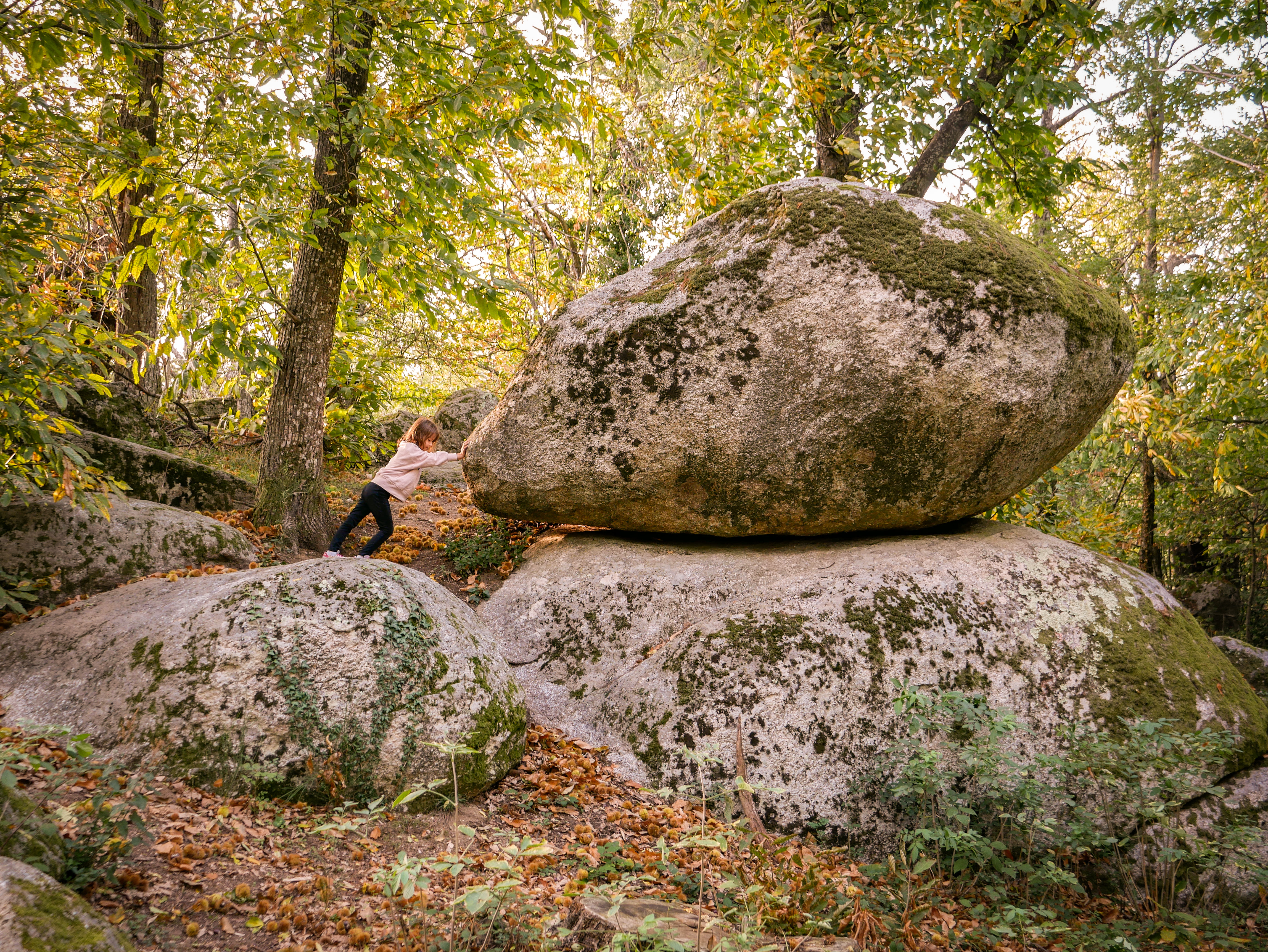
Behind the groves, in the tall grass or silhouetted against the vast sky, rocks of varying sizes and shapes catch the eye. Scattered across the fields as if by a giant's hand, these megaliths seem to vibrate with a mysterious energy.
Description
- Departure from Place de la Mairie. Turn right and follow the Toinou hall and descend to the Miellerie.
- Town hall - La Bâtie. Head towards St Sylvestre (Marcel). Pass in front of the housing estate and follow the dirt road downhill.
- La Pichonnière. Turn right onto the tarmac road. Before the stone house, take the grassy path downhill on the left.
- At the hamlet of Mercier, at the end of the grassy path, take the tarmac road on your right which goes uphill.
- At the crossroads with Chemin de la Blachonne, take the road on your left.
- At the brown sign for "circuit des sites mégalithiques" (megalithic sites trail), take the dirt track on your left.
- At the crossroads, take the path on your left. At the megalith known as "cupule et écuelles" (cup and bowls), take the path on your left.
- At the lime tree, at the end of the dirt track, turn right onto the tarmac road and continue on your left at the crossroads.
- Turn left onto Chemin de la Grange du Seigneur and take the first right onto the dirt track. After the megalith called "la pierre à sacrifice" (the sacrificial stone), keep to your left and take "le trône" (the throne). Go through the chicane and continue along the grassy path.
- At the end of the path, go through the chicanes again. 100 metres further on, make a return trip to the megalith called "rocher de la fidélité" (rock of fidelity) and retrace your steps. Turn right and continue uphill.
- At the end of the climb, turn left.
- At the end of the dirt track in the hamlet of Robert, take the tarmac road on the right until you reach the departmental road. Turn left and climb back up towards Champis-La Bâtie.
- When you reach the brown sign for "La Pierre Branlante", take the road on the right for 100 metres to see it. Retrace your steps and take the path opposite.
- At the end of the path, turn right and join the main road. Turn left and head for the town hall square.
- Departure : Place de la mairie, La Bâtie de Crussol, Champis
- Arrival : Place de la mairie, La Bâtie de Crussol, Champis
- Towns crossed : CHAMPIS
Forecast
Altimetric profile
Access and parking
D533 direction Alboussière, puis D269 direction Champis La Bâtie de Crussol
Parking :
Parking de la mairie, La Bâtie
Report a problem or an error
If you have found an error on this page or if you have noticed any problems during your hike, please report them to us here: