Panoramic tour of Muans
BOFFRES
Panoramic tour of Muans
Hard
4h
12,1km
+324m
-248m
Loop
GR
PR
Embed this item to access it offline
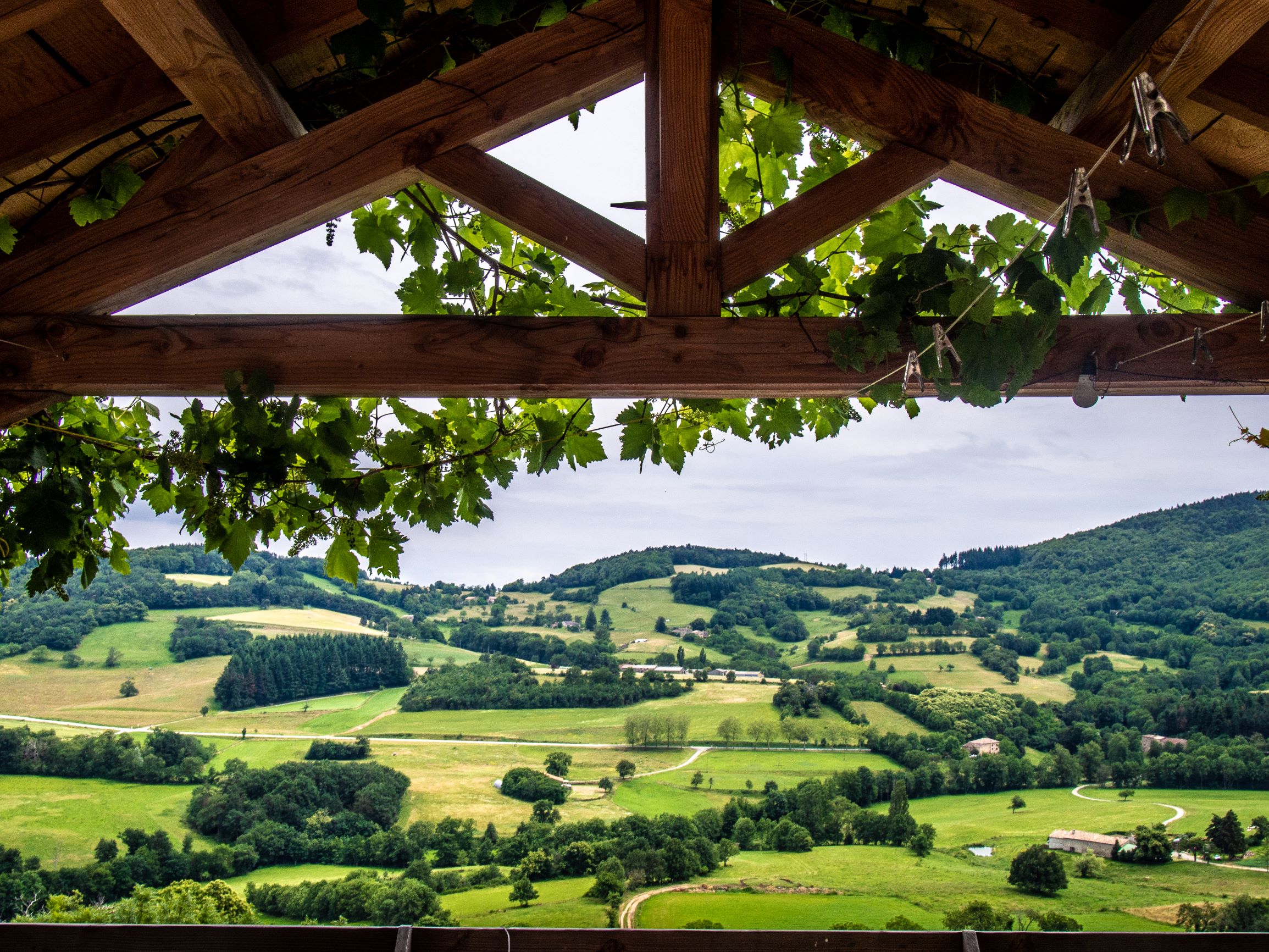
A circuit punctuated by steep gradients, winding from one side of the Serre de Muans to the other, offering varied sensations and panoramic views at every turn.
Description
- Church From the church forecourt and the orientation table, walk down the cobbled path to the post office.
- Les Perrets Descend below the village following the GR 420 variant. At the "l'Envolée" gîte, leave the road and take the path on the left. Descend through the grass to the cluster of trees below. When you cross the Duzon river, you can see the Moulin de Gleize mill. You can still make out the water supply channel and the axis of the wheel. When you reach the D14, go up the small road opposite on the right to the ridges of Serre de Muans.
- Cerisier Take the path that goes up to the left towards Saint Julien Le Roux. Beautiful view of the Rhône valley. The ridge offers numerous views of châteaux and bourgeois houses (Cachard, Les Faugs) and, in particular, Font Duzon, where the Duzon river has its source.
- La Croix Saint-André Take the D232 for a few hundred metres before taking a steep path that climbs into the woods on the left after the hamlet of Palmyre.
- Herbasse At the edge of the plateau, among the heather, the view opens up onto the Vercors, the Rhône valley and the Ventoux. Head towards Col de la Mûre.
- Lierne Take the path opposite towards Col de La Mure until you reach Chemin de Barrite.
- Chemin de Barrite. Descend the path through the broom for 1 km to the hamlet of Le Prérond. Cross the Parpaillon stream.
- Parpaillon Take the GR trail again, descending to the left towards Vernoux en Vivarais.
- Serre du Gratol Leave the GR trail and follow the signs for Boffres on the right. Cross the D233 and then the hamlet of Les Bernards before following the D14 for 100m. Go up the small road on the right to rejoin the GR42.
- Fontanet Go down the path on the left to return to Boffres. The descent offers a beautiful view of the village.
- Departure : Eglise, Boffres
- Arrival : Eglise, Boffres
- Towns crossed : BOFFRES, ALBOUSSIERE, and GILHAC-ET-BRUZAC
Forecast
Altimetric profile
Transport
Ligne 46 Valence - Vernoux
Access and parking
D219 jusqu'à Boffres
Parking :
Place de l'église
Report a problem or an error
If you have found an error on this page or if you have noticed any problems during your hike, please report them to us here: