The Heights of Toulaud
TOULAUD
The Heights of Toulaud
Medium
5h
16,2km
+527m
-529m
Loop
GR
PR
Embed this item to access it offline
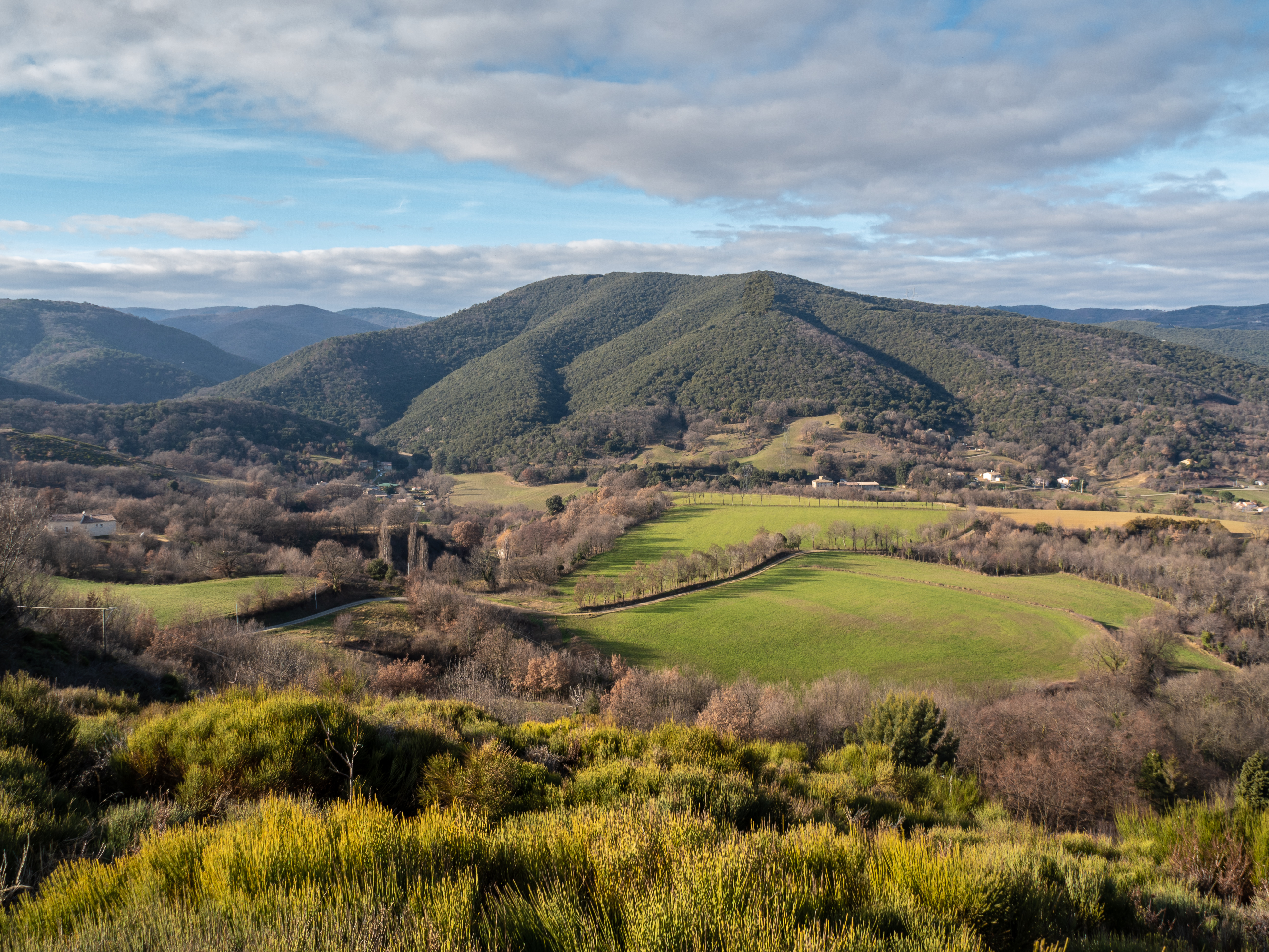
From the village, the loop climbs up to the surrounding plateaus, revealing splendid panoramic views of the Rhône valley and the Crussol and Soyons massifs, interspersed with forest passages.
Description
- Town hall Walk up Rue de la Calade to reach the medieval village. At the edge of the village, turn left onto the path that leads to the ridge of Le Serre, following the GR42 trail. From the rocky outcrop overlooking the village, there is a superb view of the Crussol massif.
- Col des Ayes Take the path that descends to the left below the D479, then rejoins the D479 further down to the Valette bridge.
- Valette Bridge Leave the GR by turning right onto the old Gilhac and Bruzac path. You will pass La Seauve, a former Benedictine convent built in the 12th century.
- Les Fauries Leave the track on the right and descend into the forest to the Embroye river. Cross it and climb up to the hamlet of La Tour. The path goes around it and crosses the D279, passing through a forest to reach Les Bonnets de Ladreyt.
- Les Bonnets de Ladreyt From this highest point of the loop (505 m), the view opens up onto the Rhône valley and the peaks of the Vercors and the Alps. Descend towards Toulaud.
- Les Illiers At the hamlet of Les Illiers, take the road downhill to the right. Cross the D279 opposite and stay on the path to the Col des Ayes.
- Col des Ayes Descend to the village via the GR 42, following the same path as on the way up. Enjoy the open view over the valley. On your return, don't miss a visit to the narrow streets and cobbled lanes typical of the old town centre of Toulaud.
- Departure : Mairie, Toulaud
- Arrival : Mairie, Toulaud
- Towns crossed : TOULAUD
Forecast
Altimetric profile
Transport
Ligne 40 - Citéa
Access and parking
D279 depuis Saint-Péray
Parking :
Devant la Mairie
Report a problem or an error
If you have found an error on this page or if you have noticed any problems during your hike, please report them to us here: