The Ridge Trail
ALBOUSSIERE
The Ridge Trail
Medium
3h30
10,8km
+240m
-238m
Loop
Embed this item to access it offline
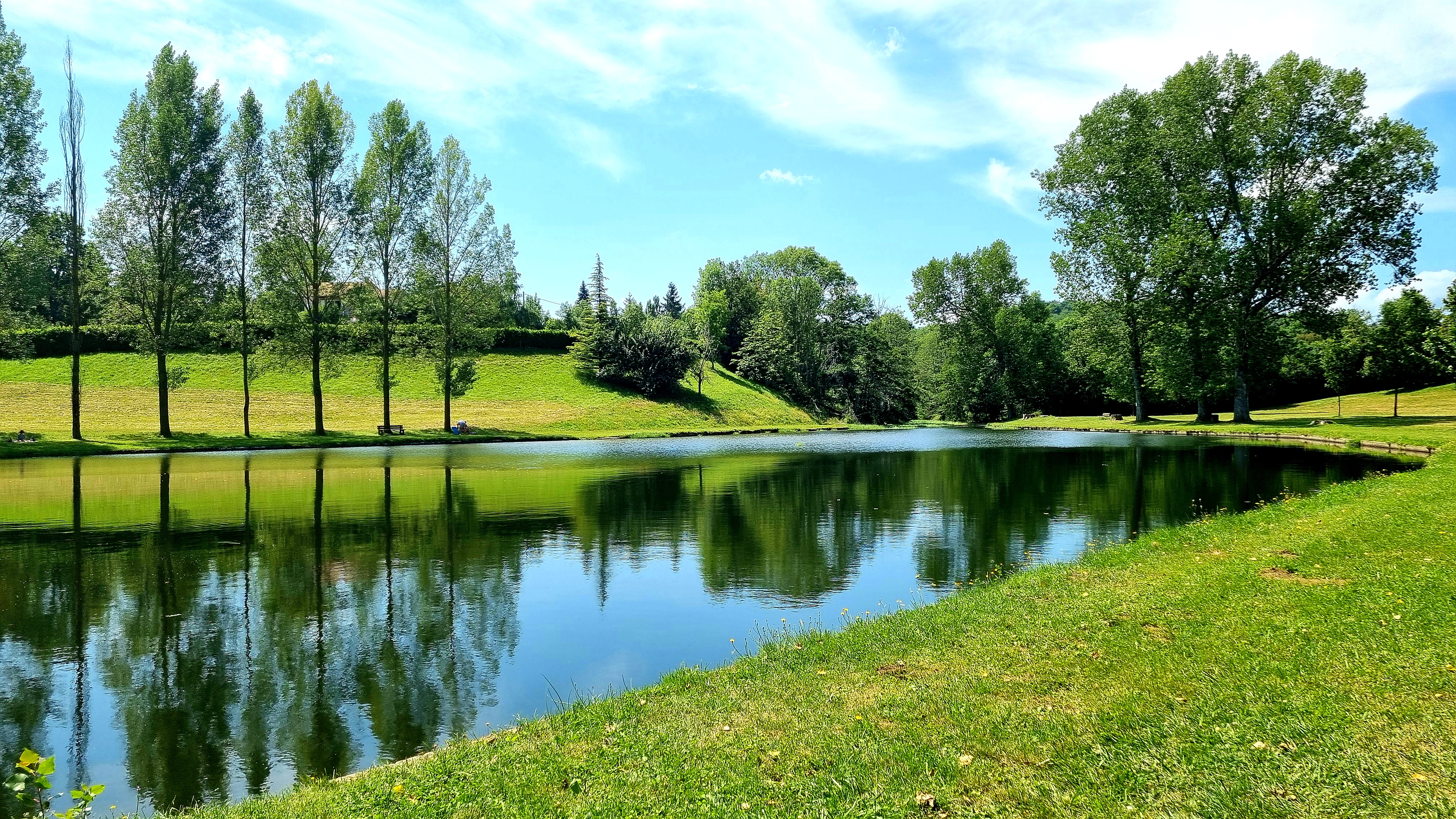
This hike, alternating between plateaus and woodland, takes you around Alboussière and Champis, peaceful villages nestled in their green surroundings.
Description
- Place de La Fontaine: follow the Pr by taking the small street of La Bâtie which climbs opposite the square. You climb up the paths to Champis-La Bâtie.
- Town hall: enjoy the view over the countryside and the Alpine peaks in the distance. From this point, take the path on the right.
- La Pichonnière: turn right towards Alboussière. At the sign for "megalithic sites", follow the path that leads to the middle of an unusual jumble of granite stones, which were carved by humans during the Copper Age.
- Vivier: Descend to the left, cross the bridge.
- La Pine: Leave the D533 on the right onto the small tarmac road, then take a path on the left that climbs up towards the ridges.
- Rosières: You will be rewarded with a beautiful view of the village of Alboussière. This path overlooks the Rhône valley, with a panoramic view of Valence in the foreground, then the Vercors and finally the Alps in the background. From the ridges on the right, you can see the Château de Crozat and its slate turrets in a hollow on the right.
- Chemin de Ponsoye: Follow the D14 to the next hiking signpost.
- Col de Ponsoye: Descend towards the village, leaving the D14 via a path through the woods to the lake. Climb back up to the village.
- Town hall: cross the D219 to arrive in front of the Tourist Office, then turn right.
- Departure : Place de la Fontaine, Alboussière
- Arrival : Place de la fontaine, Alboussière
- Towns crossed : ALBOUSSIERE and CHAMPIS
Forecast
Altimetric profile
Transport
Ligne 46 - Valence - Vernoux
Access and parking
D533
Parking :
Place de la bascule
Report a problem or an error
If you have found an error on this page or if you have noticed any problems during your hike, please report them to us here: